Свернуть Последняя Активация

Charter activations

Flood in Argentina

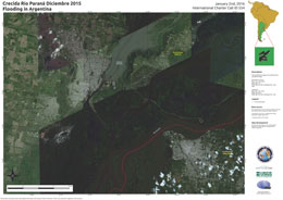
25,000 people have been evacuated in Argentina after the worst flooding in fifty years struck South America.

The cause of the flooding was the El Nino weather phenomenon, which brought heavy rain to the area and rose the water levels of the Paraguay, Uruguay and Paranà River's.

The area affected by the flooding is widespread and impacts the region between Argentina, Paraguay Uruguay and Brazil.

In Argentina, two people have been reported killed in the flooding, and it is unclear when those affects may be able to return to their homes. Estimates suggest it may take months for some, as the flood waters have almost entirely submerged some houses and the water has been contaminated by sewer lines.

Among the cities worst affected in Argentina are Concordia, Goya and Paranà, but many others are also affected.

Тип события:Flood
Место события:Argentina
Date of Charter Activation:28 December 2015
Время активации Хартии:15:00:00
TЧасовой пояс в районе активации Хартии:UTC+01:00
Запрос на активацию поступил от:Direccion Nacional de Proteccion Sivil
Менеждер проекта от:CONAE

Products

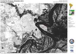
Flooding along the Paraguay River at Formosa in Argentina

Авторские права: DigitalGlobe 2016
Map produced by CONAE

Information about the Product

Получено: 16/01/2016

Источник: WorldView-2

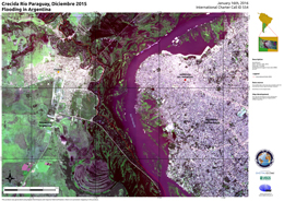
Flooding at Clorinda in Argentina and Asunción in Paraguay

Авторские права: DigitalGlobe 2016
Map produced by CONAE

Information about the Product

Получено: 16/01/2016

Источник: WorldView-2

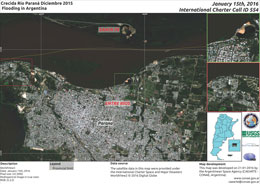
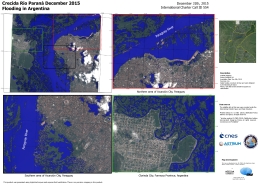
Flooding at Paranà City, Argentina

Авторские права: DigitalGlobe 2016
Map produced by CONAE

Information about the Product

Получено: 15/01/2016

Источник: WorldView-2

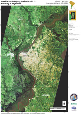
Flooding at Asunción del Paraguay, in Paraguay

Авторские права: NASA 2016
Map produced by CONAE

Information about the Product

Получено: 17/01/2016

Источник: EO-1 - ALI

Flooding at Formosa City in Argentina

Авторские права: ALOS © JAXA (2016) All rights reserved
Map produced by CONAE

Information about the Product

Получено: Pre-crisis: 16/12/2014
Post-crisis: 12/01/2016

Источник: ALOS-2

Flooding along the Paraná River at Santa Fe and Paraná in Argentina

Авторские права: WorldView-2 and 3 © DigitalGlobe 2016
Landsat 8 data and products © USGS (2015) - All rights reserved
Map produced by CONAE

Information about the Product

Получено: WorldView-2 and 3: 02/02/2016
Landsat 8: 04/12/2015

Источник: WorldView-2 and 3 / Landsat 8
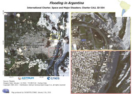
Flooding at Concordia in Argentina

Авторские права: Pleiades © CNES 2016 - Distribution: Airbus Defence and Space, all rights reserved
Map produced by CONAE

Information about the Product

Получено: 02/01/2016

Источник: Pleiades

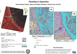
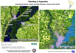
Flooding in Argentina

Авторские права: Terra ASTER © NASA/JAXA
Landsat 8 data and products © USGS (2015) - All rights reserved
Map produced by CONAE

Information about the Product

Получено: Terra ASTER: 01/01/2016
Landsat 8: 17/10/2015

Источник: Terra - ASTER / Landsat 8 - OLI

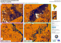
Flooding along the Paraguay River in Argentina

Авторские права: WorldView-2 © DigitalGlobe 2016
Landsat 8 data and products © USGS (2015) - All rights reserved
Map produced by CONAE

Information about the Product

Получено: WorldView-2: 09/01/2016
Landsat 8: 08/09/2015

Источник: WorldView-2 / Landsat 8
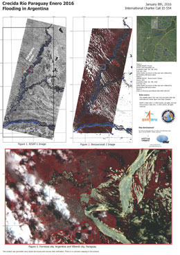
Flooding along the Paraguay River in Argentina

Авторские права: RISAT-1 data and products © ISRO (2016) - All rights reserved
ResourceSat-2 data and products © ISRO (2016) - All rights reserved
Map produced by CONAE

Information about the Product

Получено: RISAT-1: 01/01/2016
ResourceSat-2: 08/01/2016

Источник: RISAT-1 / ResourceSat-2
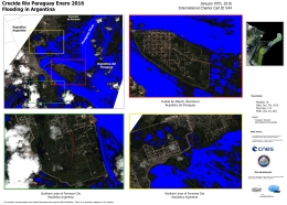
Flooding at Asuncion and Clorinda in Argentina

Авторские права: © CNES 2016 - Distribution: Airbus Defence and Space, all rights reserved
Map produced by CONAE

Information about the Product

Получено: 08/01/2016

Источник: Pleiades

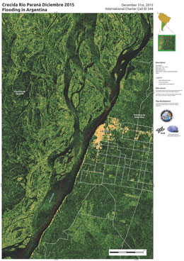
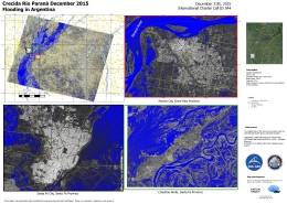
Flooding at Paranà, Santa Fe and Colastine Norte, Argentina

Авторские права: RADARSAT-2 Data and Products © MacDonald, Dettwiler and Associates Ltd. (2015) - All Rights Reserved. RADARSAT is an official trademark of the Canadian Space Agency.
Map produced by CONAE

Information about the Product

Получено: 31/12/2015

Источник: RADARSAT-2
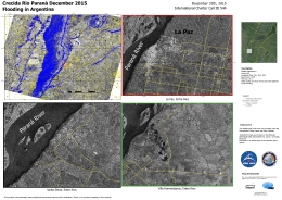
Flooding at La Paz, Santa Elena and Villa Hernandarias, Argentina

Авторские права: RADARSAT-2 Data and Products © MacDonald, Dettwiler and Associates Ltd. (2015) - All Rights Reserved. RADARSAT is an official trademark of the Canadian Space Agency.
Map produced by CONAE

Information about the Product

Получено: 31/12/2015

Источник: RADARSAT-2
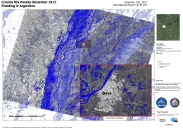
Flooding along the Paranà River at Goya in Argentina

Авторские права: RADARSAT-2 Data and Products © MacDonald, Dettwiler and Associates Ltd. (2015) - All Rights Reserved. RADARSAT is an official trademark of the Canadian Space Agency.
Map produced by CONAE

Information about the Product

Получено: 31/12/2015

Источник: RADARSAT-2
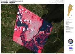
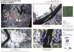
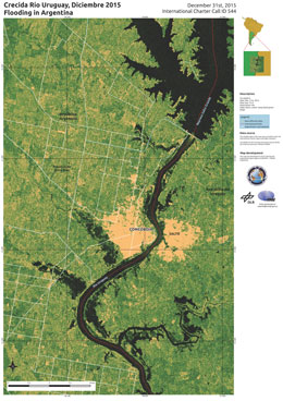
Flooding along the Uruguay River at Concordia in Argentina and Salto in Uruguay

Авторские права: JAXA
Map produced by CONAE

Information about the Product

Получено: 28/05/2015 and 08/01/2016

Источник: ALOS-2 PALSAR

Before and after comparison of flooding at Santa Fe in Argentina

Авторские права: Landsat 8 data and products © USGS (2015) - All rights reserved
Map produced by CONAE

Information about the Product

Получено: Pre-disaster: 30/08/2015
During flooding: 04/12/2015

Источник: Landsat 8 OLI

Flooding at Alberdi and Formosa, Argentina

Авторские права: Pleiades © CNES 2016 - Distribution: Airbus Defence and Space, all rights reserved
Map produced by CONAE

Information about the Product

Получено: 07/01/2016

Источник: Pleiades

Flooding at Concordia in Argentina

Авторские права: DigitalGlobe 2016
Map produced by CONAE

Information about the Product

Получено: 02/01/2016

Источник: WorldView-2

Flooding at the city of Santa Fe in Argentina

Авторские права: Pleiades © CNES 2016 - Distribution: Airbus Defence and Space, all rights reserved
Landsat 8 data and products © USGS (2015) - All rights reserved
Map produced by CONAE

Information about the Product

Получено: Pleiades: 01/01/2016
Landsat 8: 31/08/2015

Источник: Pleiades / Landsat 8
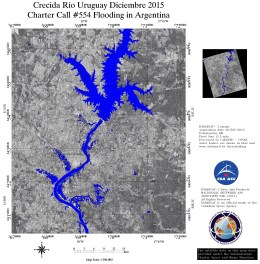
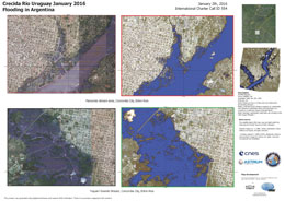
Flooding at Concepción del Uruguay, in Argentina

Авторские права: Pleiades © CNES 2015 - Distribution: Airbus Defence and Space, all rights reserved
Map produced by CONAE

Information about the Product

Получено: 01/01/2016

Источник: Pleiades

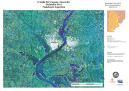
Flooding along the Uruguay River at Concordia, in Argentina

Авторские права: NRSC 2015
Map produced by CONAE

Information about the Product

Получено: 31/12/2015

Источник: RISAT-1

Flooding along the Parana River at La Paz, in Argentina

Авторские права: © DLR e. V. 2015, Distribution: Airbus DS Geo Gmbh
Map produced by CONAE

Information about the Product

Получено: 31/12/2015

Источник: TerraSAR-X

Flooding along the Uruguay River at Colon, in Argentina

Авторские права: © DLR e. V. 2015, Distribution: Airbus DS Geo Gmbh
Map produced by CONAE

Information about the Product

Получено: 31/12/2015

Источник: TerraSAR-X

Flooding along the Uruguay River at Concordia, in Argentina

Авторские права: TerraSAR-X © DLR e. V. 2015, Distribution: Airbus DS Geo Gmbh
Map produced by CONAE

Information about the Product

Получено: 31/12/2015

Источник: TerraSAR-X

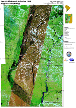
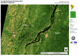
Flooding on the Parana River in Argentina

Авторские права: ResourceSat-2 © NRSC 2015
Aqua/MODIS © 2015 NASA
Map produced by CONAE

Information about the Product

Получено: ResourceSat-2: 30/12/2015
Aqua/MODIS: 01/01/2016

Источник: ResourceSat-2 / Aqua - MODIS

Flooding on the Parana River in Argentina

Авторские права: © DLR e. V. 2015, Distribution Airbus DS Geo Gmbh
Map produced by CONAE

Information about the Product

Получено: 31/12/2015

Источник: TerraSAR-X

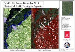
Flooding at Parana City in Argentina

Авторские права: Landsat 8 © USGS
RapidEye © BlackBridge AG 2015 - All rights reserved
Map produced by CONAE

Information about the Product

Получено: Landsat 8: 31/08/2015
RapidEye: 30/12/2015

Источник: Landsat 8 / RapidEye

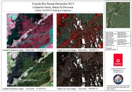
Flooding at Colastiné Norte in Santa Fe Province, Argentina

Авторские права: Landsat 8 © USGS
RapidEye © BlackBridge AG 2015 - All rights reserved
Map produced by CONAE

Information about the Product

Получено: Landsat 8: 31/08/2015
RapidEye: 30/12/2015

Источник: Landsat 8 / RapidEye

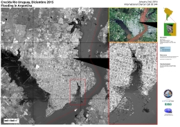
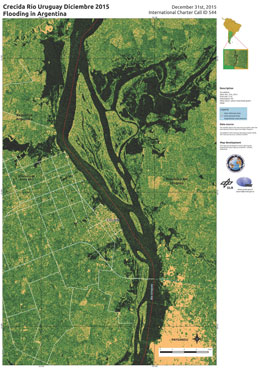
Flooding along the Uruguay River in Argentina

Авторские права: RADARSAT-2 Data and Products © MacDonald, Dettwiler and Associates Ltd. (2015) - All Rights Reserved. RADARSAT is an official trademark of the Canadian Space Agency.
Map produced by CONAE

Information about the Product

Получено: 29/12/2015

Источник: RADARSAT-2

Вернуться к полному архиву активаций