 English
 Spanish
 French
 Chinese
 Russian
 Portuguese
 Latest Activation
Charter activations
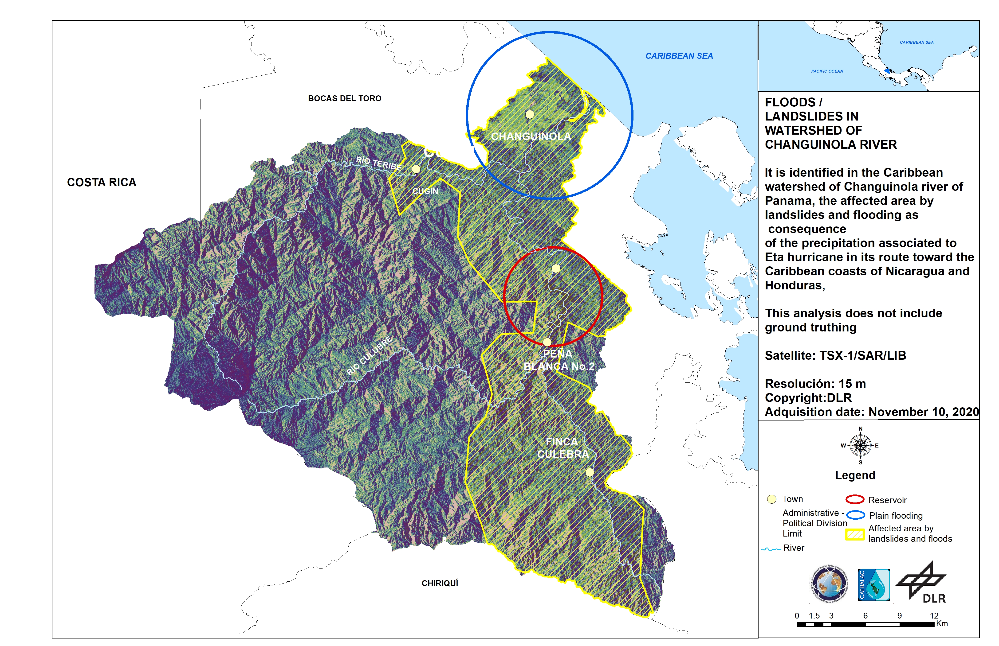
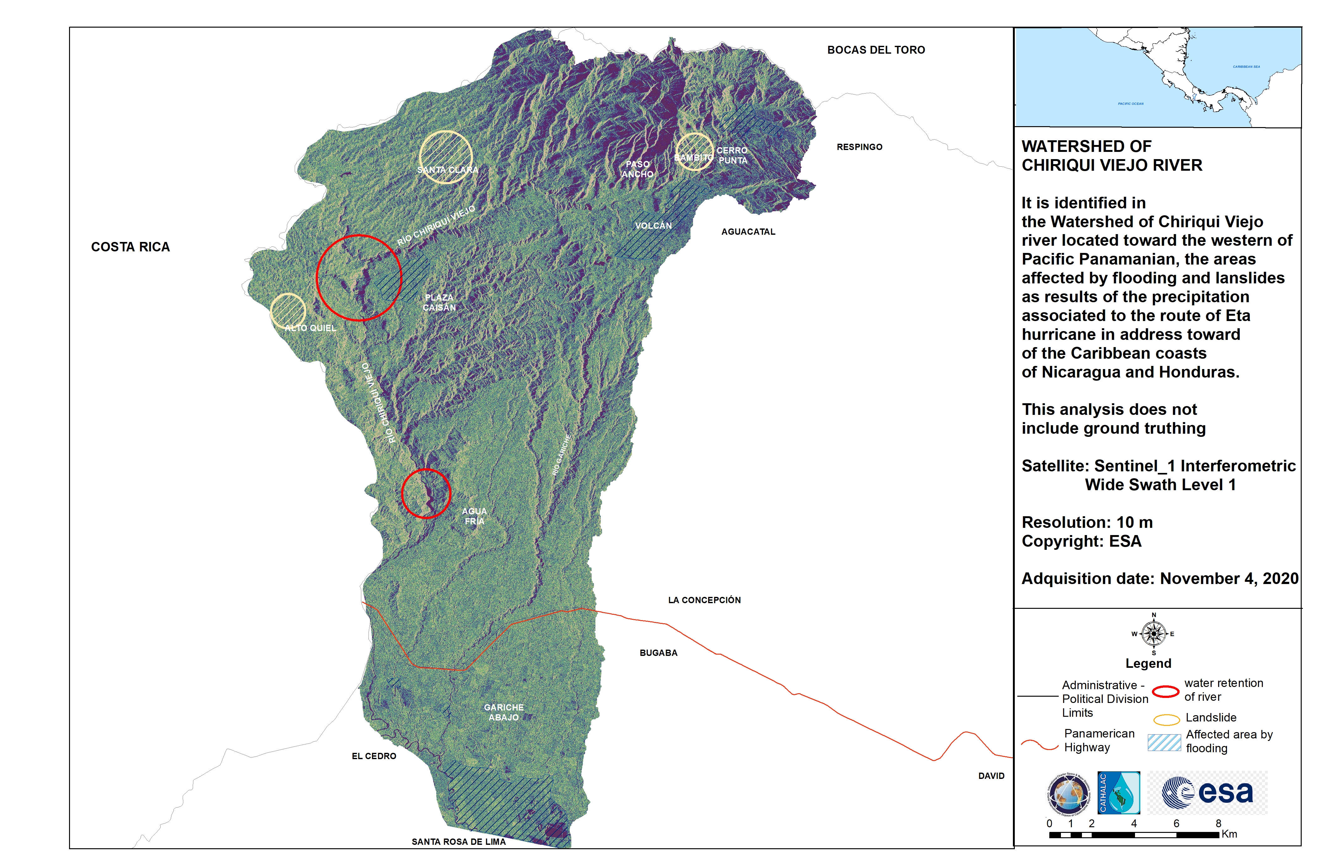
Flood in Panama
Large areas of Panama are underwater following days of torrential rains caused by Hurricane Eta.
Landslides closed many roads in Chiriqui, a province in Panama that borders Costa Rica. At least eight people were reported missing in the area.
More than 200 residents of Panamas' Ngabe Bugle autonomous Indigenous area were flooded out of their homes.
| Tipo de evento: | Floods |
| Local do evento: | Panama |
| Data da Ativação da Carta: | 2020-11-09 |
| Tempo de Ativação da Carta: | 07:33 |
| Zona de Tempo da Ativação da Carta: | UTC-06:00 |
| Requisitante da Carta: | EROS on behalf of Ministry of Government/Panama and Water Center for the Humid Tropics of Latin America and the Caribbean (CATHALAC) |
| ID da Ativação: | 684 |
| Gerenciamento de projeto: | CATHALAC |
Products
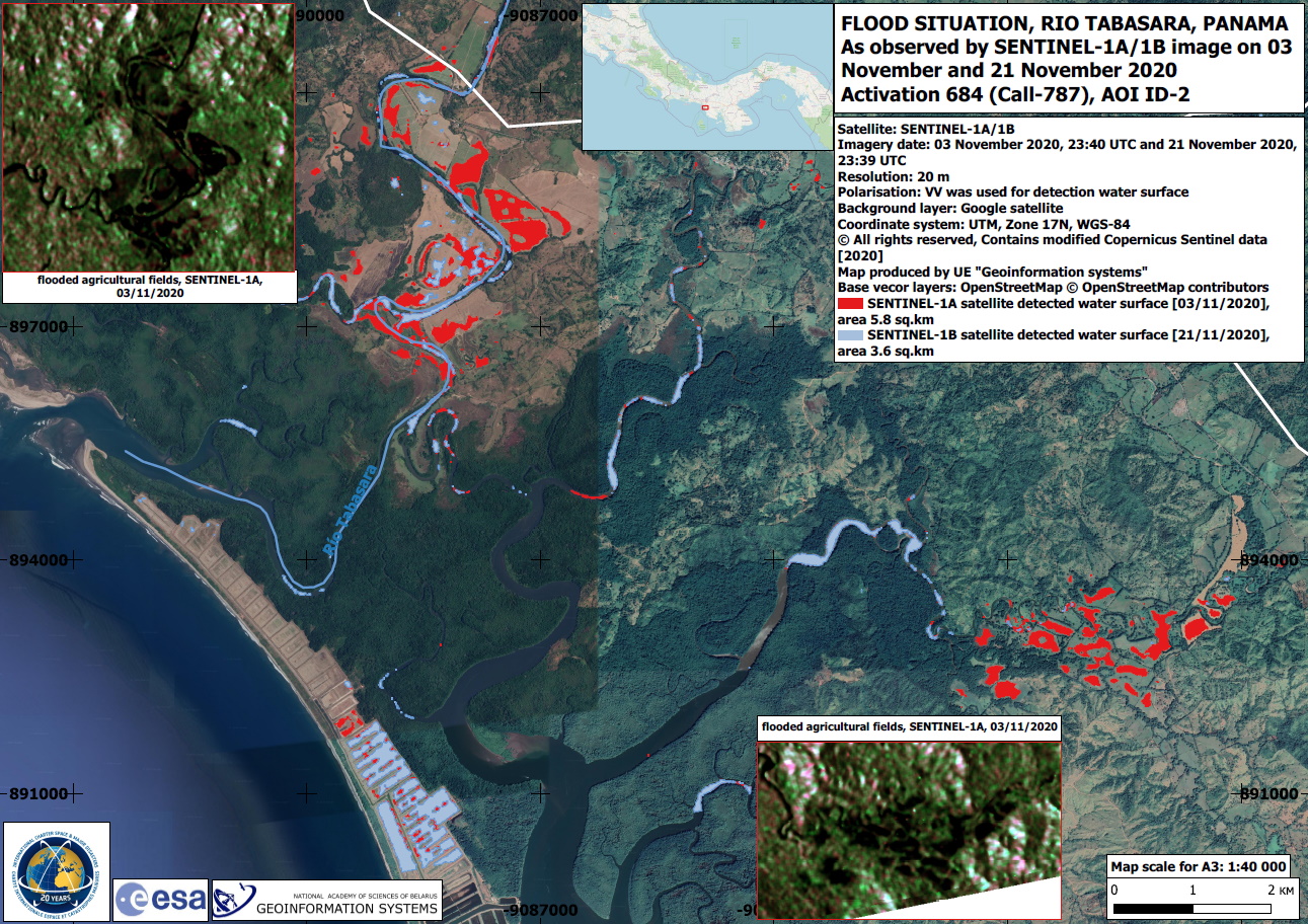
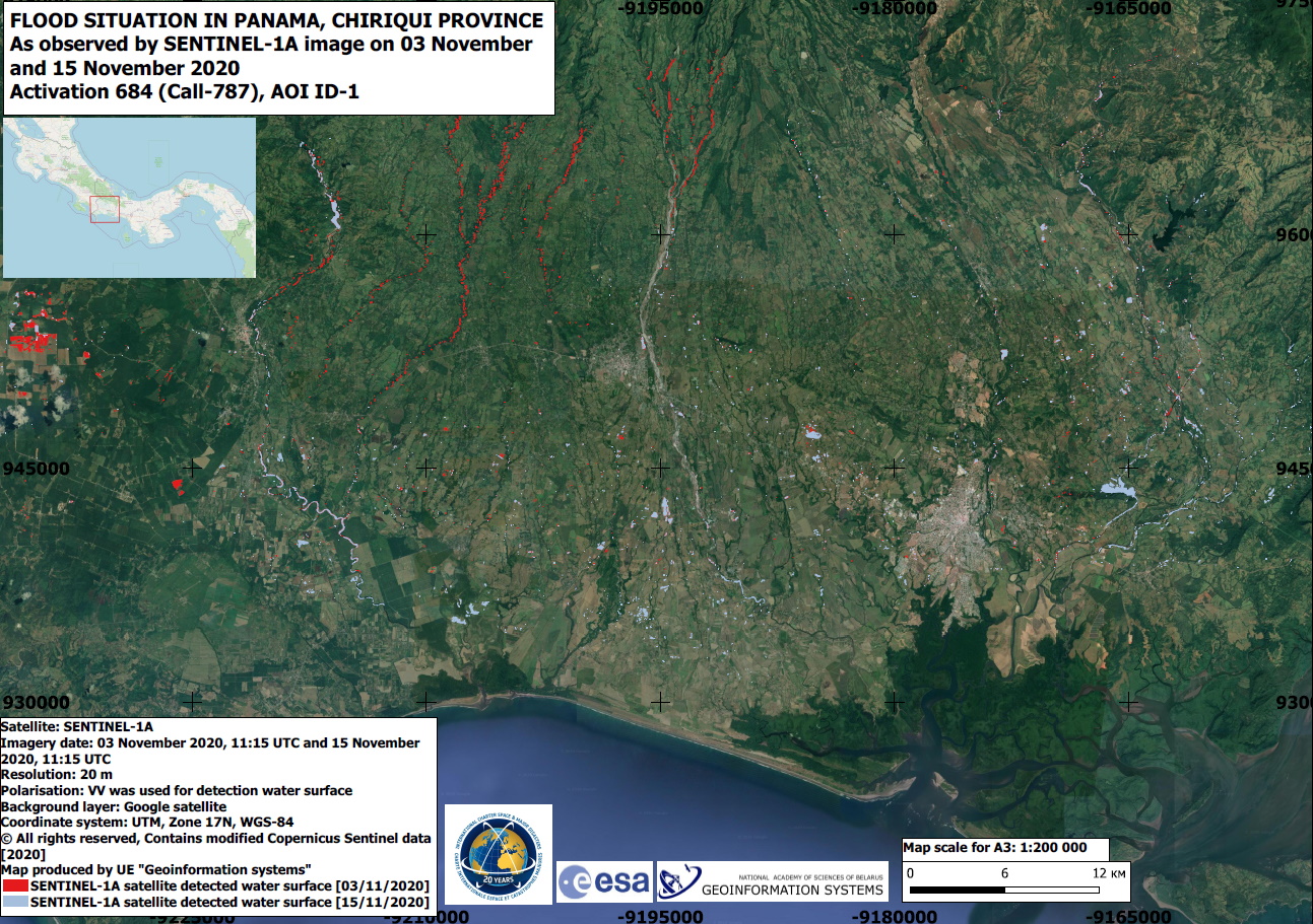
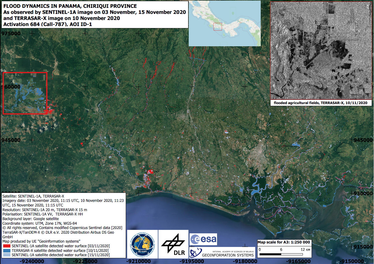
Flood situation in Panama, Chiriqui Province
Direitos autorais: Contains modified Copernicus Sentinel data (2020)
TerraSAR-X© DLR e.V. (2020), Distribution Airbus DS Geo GmbH
Map produced by UE Geoinformation Systems
Information about the Product
Adquirida: Sentinel-1: 03/11/2020 and 15/11/2020
TerraSAR-X: 10/11/2020
Fonte: Sentinel-1 and TerraSAR-X
 Voltar ao arquivo completo da Ativação

