Charter activations
Flood in United States
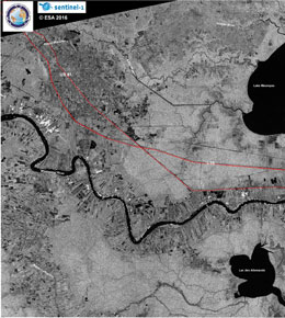
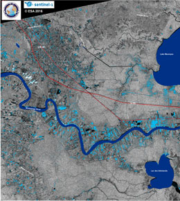
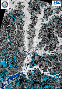
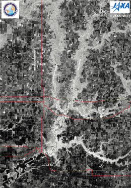
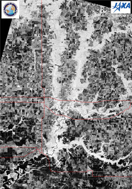
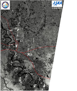
More than 20,000 people have needed rescue following massive floods that swept across the state of Louisiana.
The flooding has killed at least four people and residents are being warned it's going to get worse before the flood waters recede.
President Barack Obama declared a major disaster in the hard-hit parishes of East Baton Rouge, Livingston, St. Helena and Tangipahoa, freeing up federal funding for flood-related assistance.
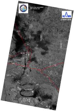
The heavy rainfall started on Friday, where some areas received more than 17 inches (43cm) of rain. The neighbouring states of Alabama and Mississippi are also experiencing severe weather.
Louisiana Governor John Bel Edwards declared a state of emergency on Friday. On Saturday he said: "This is an ongoing event. We're still in response mode."
More than 1,700 rescue personnel had been mobilized and nearly 170 high-water vehicles had been tasked or staged, according to the Louisiana National Guard. An additional 800 guardsmen will likely be deployed.
The Coast Guard was also assisting in the rescue efforts, using helicopters to help residents from their rooftops, cars and trailers.
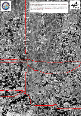
The state Transportation Department said more than 100 roads have been closed across the state. In Jefferson Davis Parish, so many roads are impassable that Sheriff Ivy Woods declared a 6 p.m. curfew so motorists don't get stranded overnight.
| 事件类型: | Flood |
| 事件地点: | United States |
| 启动宪章的日期: | 13 August 2016 |
| 宪章启动时间: | 17:57:08 |
| 宪章启动时区: | UTC-05:00 |
| 宪章要求者: | USGS on behalf of State of Louisiana |
| 项目经理: | UT Center for Space Research |
Products
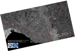
St. Tammany Parish, Louisiana
版权: RADARSAT-2 Data and Products © MacDonald, Dettwiler and Associates Ltd. (2016) - All Rights Reserved. RADARSAT is an official trademark of the Canadian Space Agency.
Map produced by USGS Wetland and Aquatic Research Center (WARC)
Information about the Product
已获得: 17/08/2016
源: RADARSAT-2
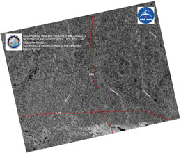
St. Helena Parish, Louisiana
版权: RADARSAT-2 Data and Products © MacDonald, Dettwiler and Associates Ltd. (2016) - All Rights Reserved. RADARSAT is an official trademark of the Canadian Space Agency.
Map produced by USGS Wetland and Aquatic Research Center (WARC)
Information about the Product
已获得: 17/08/2016
源: RADARSAT-2
Lafayette, Louisiana
版权: RADARSAT-2 Data and Products © MacDonald, Dettwiler and Associates Ltd. (2016) - All Rights Reserved. RADARSAT is an official trademark of the Canadian Space Agency.
Map produced by USGS Wetland and Aquatic Research Center (WARC)
Information about the Product
已获得: 16/08/2016
源: RADARSAT-2
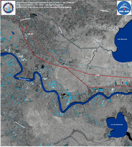
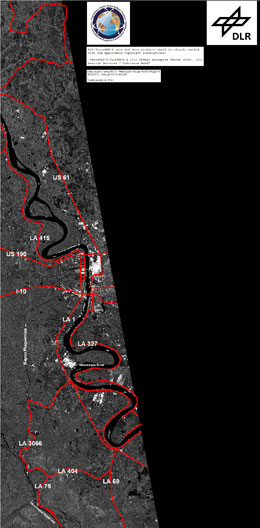
Surface Water along the Bayou Manchac, St. James Parish, Louisiana
版权: RADARSAT-2 Data and Products © MacDonald, Dettwiler and Associates Ltd. (2016) - All Rights Reserved. RADARSAT is an official trademark of the Canadian Space Agency.
Map produced by USGS Wetland and Aquatic Research Center (WARC)
Information about the Product
已获得: 21/08/2016
源: RADARSAT-2
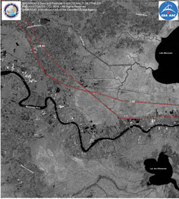
Bayou Manchac, St. James Parish, Louisiana
版权: RADARSAT-2 Data and Products © MacDonald, Dettwiler and Associates Ltd. (2016) - All Rights Reserved. RADARSAT is an official trademark of the Canadian Space Agency.
Map produced by USGS Wetland and Aquatic Research Center (WARC)
Information about the Product
已获得: 21/08/2016
源: RADARSAT-2
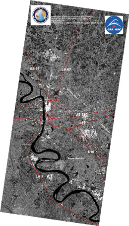
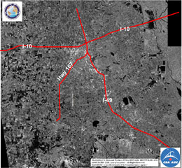
Baton Rouge, Louisiana
版权: RADARSAT-2 Data and Products © MacDonald, Dettwiler and Associates Ltd. (2016) - All Rights Reserved. RADARSAT is an official trademark of the Canadian Space Agency.
Map produced by USGS Wetland and Aquatic Research Center (WARC)
Information about the Product
已获得: 18/08/2016
源: RADARSAT-2
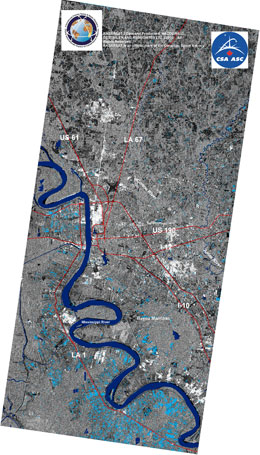
Surface water at Baton Rouge, Louisiana
版权: RADARSAT-2 Data and Products © MacDonald, Dettwiler and Associates Ltd. (2016) - All Rights Reserved. RADARSAT is an official trademark of the Canadian Space Agency.
Map produced by USGS Wetland and Aquatic Research Center (WARC)
Information about the Product
已获得: 18/08/2016
源: RADARSAT-2
 返回完整的响应档案

 English
 Spanish
 French
 Chinese
 Russian
 Portuguese
