Minimizar Latest Activation

Charter activations

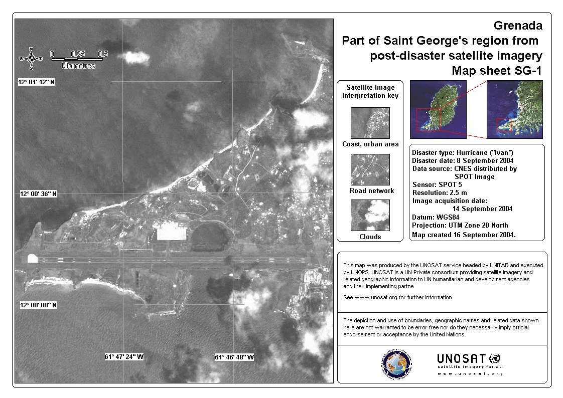
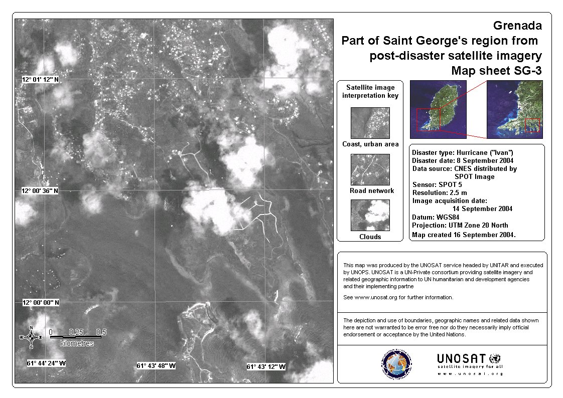
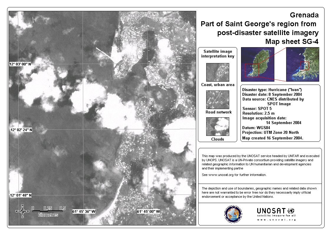
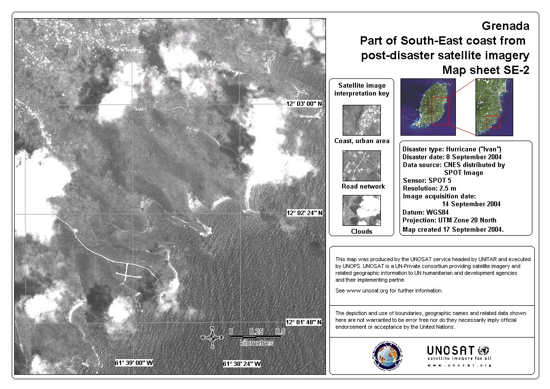
Hurricane in the Caribbean

Hurricane Ivan has been reported to have swept through Grenada Island in the Caribbean. The hurricane has caused significant damage and the authorities have reported at least 34 dead and over 500 injured.

Tipo de evento:Hurricane
Local do evento:Grenada Island - Caribbean
Data da Ativação da Carta:11/09/2004
Requisitante da Carta:UNOOSA on behalf of UNOCHA/WFP/ Red Cross
Gerenciamento de projeto:CNES

Products

Grenada Grenville Sep 2004 SPOT

Direitos autorais: Image processing, map created 17/09/2004 by UNOSAT

Information about the Product

Adquirida: 14/09/2004

Fonte: Spot 5, 2.5 m resolution

Grenada Grenville Sep 2004 SPOT

Direitos autorais: Image processing, map created 17/09/2004 by UNOSAT

Information about the Product

Adquirida: 14/09/2004

Fonte: Spot 5, 2.5 m resolution

Grenada Grenville Sep 2004 SPOT

Direitos autorais: Image processing, map created 17/09/2004 by UNOSAT

Information about the Product

Adquirida: 14/09/2004

Fonte: Spot 5, 2.5 m resolution

Grenada Overview Sep 2004 Landsat

Direitos autorais: Image processing, map created 14/09/2004 by UNOSAT

Information about the Product

Adquirida: 04/11/2001 Pre-disaster overview from archived imagery

Fonte: Landsat 7 ETM+, 15 m

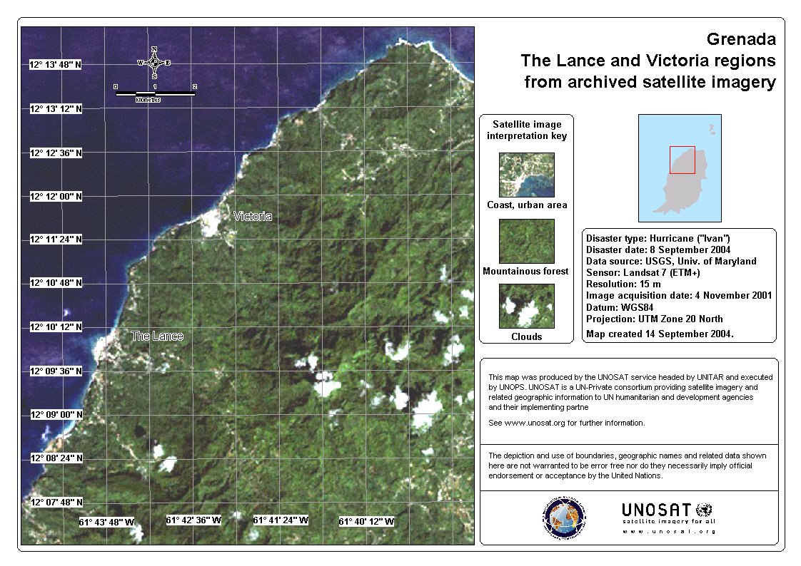
Grenada Prickleybay Thebaide Sep 2004 Landsat

Direitos autorais: Image processing, map created 14/09/2004 by UNOSAT

04/11/2001 Image processing, map created 14/09/2004 by UNOSAT

Information about the Product

Adquirida: 04/11/2001 Pre-disaster overview from archived imagery

Fonte: Landsat 7 ETM+, 15 m

Grenada Saint Georges Sep 2004 SPOT

Direitos autorais: Image processing, map created 17/09/2004 by UNOSAT

Information about the Product

Adquirida: 14/09/2004

Fonte: Spot 5, 2.5 m resolution

Grenada Saint Georges Sep 2004 SPOT

Direitos autorais: Image processing, map created 17/09/2004 by UNOSAT

Information about the Product

Adquirida: 14/09/2004

Fonte: Spot 5, 2.5 m resolution

Grenada Saint Georges Sep 2004 SPOT

Direitos autorais: Image processing, map created 17/09/2004 by UNOSAT

Information about the Product

Adquirida: 14/09/2004

Fonte: Spot 5, 2.5 m resolution

Grenada Saint Georges Sep 2004 SPOT

Direitos autorais: Image processing, map created 17/09/2004 by UNOSAT

Information about the Product

Adquirida: 14/09/2004

Fonte: Spot 5, 2.5 m resolution

Grenada Saint Georges Sep 2004 SPOT

Direitos autorais: Image processing, map created 17/09/2004 by UNOSAT

Information about the Product

Adquirida: 14/09/2004

Fonte: Spot 5, 2.5 m resolution

Grenada Saint Georges Sep 2004 SPOT

Direitos autorais: Image processing, map created 17/09/2004 by UNOSAT

Information about the Product

Adquirida: 14/09/2004

Fonte: Spot 5, 2.5 m resolution

Grenada Saint Georges Sep 2004 Landsat

Direitos autorais: Image processing, map created 14/09/2004 by UNOSAT

04/11/2001 Image processing, map created 14/09/2004 by UNOSAT

Information about the Product

Adquirida: 04/11/2001 Pre-disaster overview from archived imagery

Fonte: Landsat 7 ETM+, 15 m

Grenada Southeast Coast Sep 2004 SPOT 05

Direitos autorais: Image processing, map created 17/09/2004 by UNOSAT

Information about the Product

Adquirida: 14/09/2004

Fonte: Spot 5, 2.5 m resolution

Grenada Southeast Coast Sep 2004 SPOT

Direitos autorais: Image processing, map created 17/09/2004 by UNOSAT

Information about the Product

Adquirida: 14/09/2004

Fonte: Spot 5, 2.5 m resolution

Grenada Southeast Coast Sep 2004 SPOT

Direitos autorais: Image processing, map created 17/09/2004 by UNOSAT

Information about the Product

Adquirida: 14/09/2004

Fonte: Spot 5, 2.5 m resolution

Grenada Southeast Coast Sep 2004 SPOT

Direitos autorais: Image processing, map created 17/09/2004 by UNOSAT

Information about the Product

Adquirida: 14/09/2004

Fonte: Spot 5, 2.5 m resolution

Grenada , the Lance and Victoria regions, Sep 2004 Landsat

Direitos autorais: Image processing, map created 14/09/2004 by UNOSAT

Information about the Product

Adquirida: 04/11/2001 Pre-disaster overview from archived imagery

Fonte: Landsat 7 ETM+, 15 m

Voltar ao arquivo completo da Ativação