 English
 Spanish
 French
 Chinese
 Russian
 Portuguese
 最新のチャータ発動
Charter activations
マダガスカルの洪水
熱帯低気圧Enawoが現在マダガスカルに接近している。カテゴリー1の嵐は、マダガスカル島に広範囲に渡り洪水を引き起こす恐れがあり、予報では3月7日の上陸前に、カテゴリー3の嵐に発展する恐れがあるとしている。
嵐により5メートルの高波が起きる可能性が予測され、今後Enawoは島を縦断して南方に移動すると予報されている。
| Type of Event: | 海洋嵐 - サイクロン |
| Location of Event: | マダガスカル |
| Date of Charter Activation: | 2017年3月6日 |
| Time of Charter Activation: | 11:49:00 |
| Time zone of Charter Activation: | UTC+01:00 |
| Charter Requestor: | UNOCHAに代わってUNITAR-UNOSAT |
| Activation ID: | 521 |
| Project Management: | UNITAR |
Products
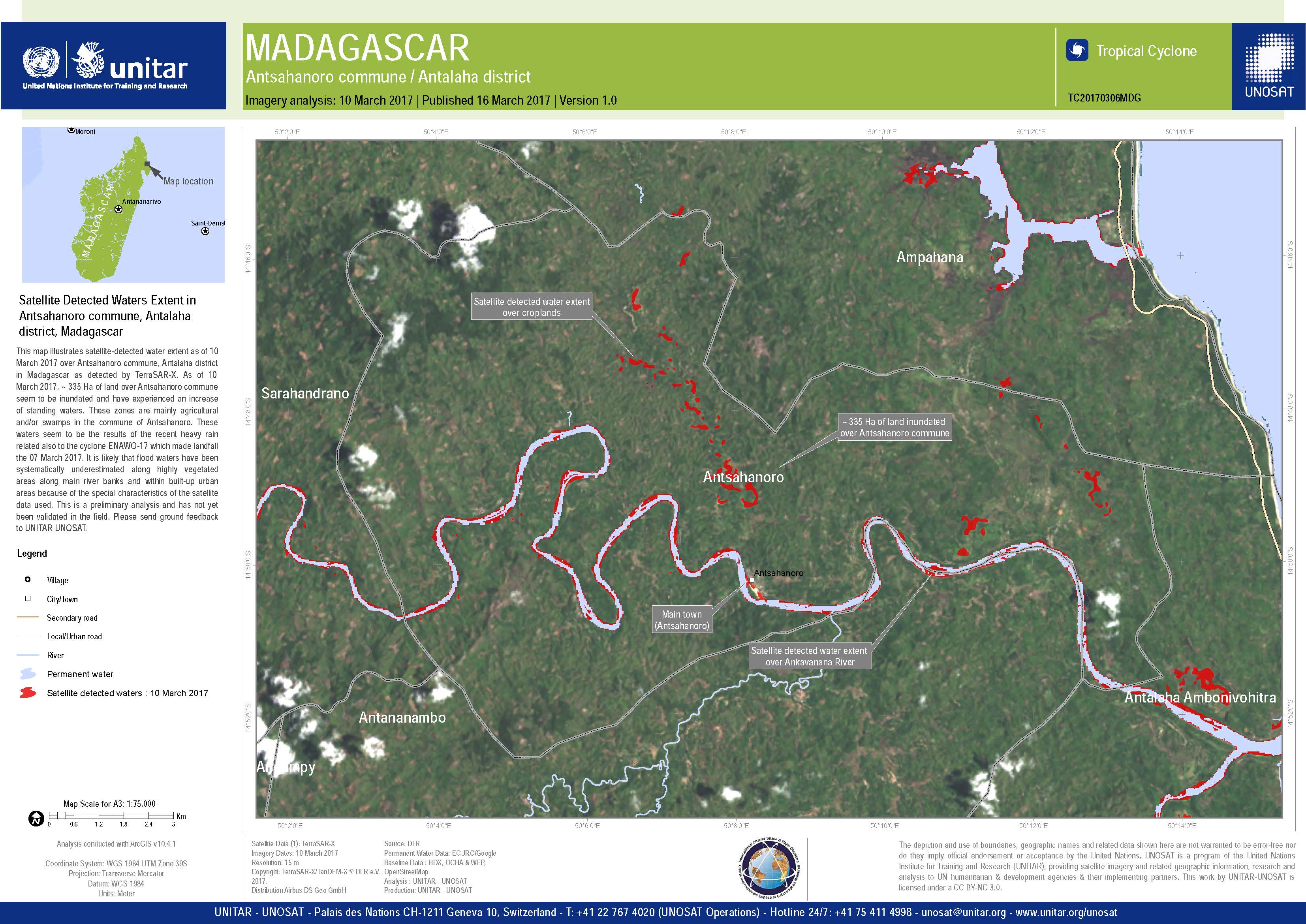

Satellite detected waters extent and evolution in Maroantsetra area, Analanjirofo region, Madagascar
Copyright: TerraSAR-X DLR e. V. 2017, Distribution: Airbus DS Geo GmbH
RADARSAT-2 Data and Products © MacDonald, Dettwiler and Associates Ltd. (2017) - All Rights Reserved. RADARSAT is an official trademark of the Canadian Space Agency.
Map produced by UNITAR / UNOSAT
Information about the Product
Acquired: TerraSAR-X: 08/03/2017 and 10/03/2017
RADARSAT-2: 04/05/2014
Source: TerraSAR-X / RADARSAT-2
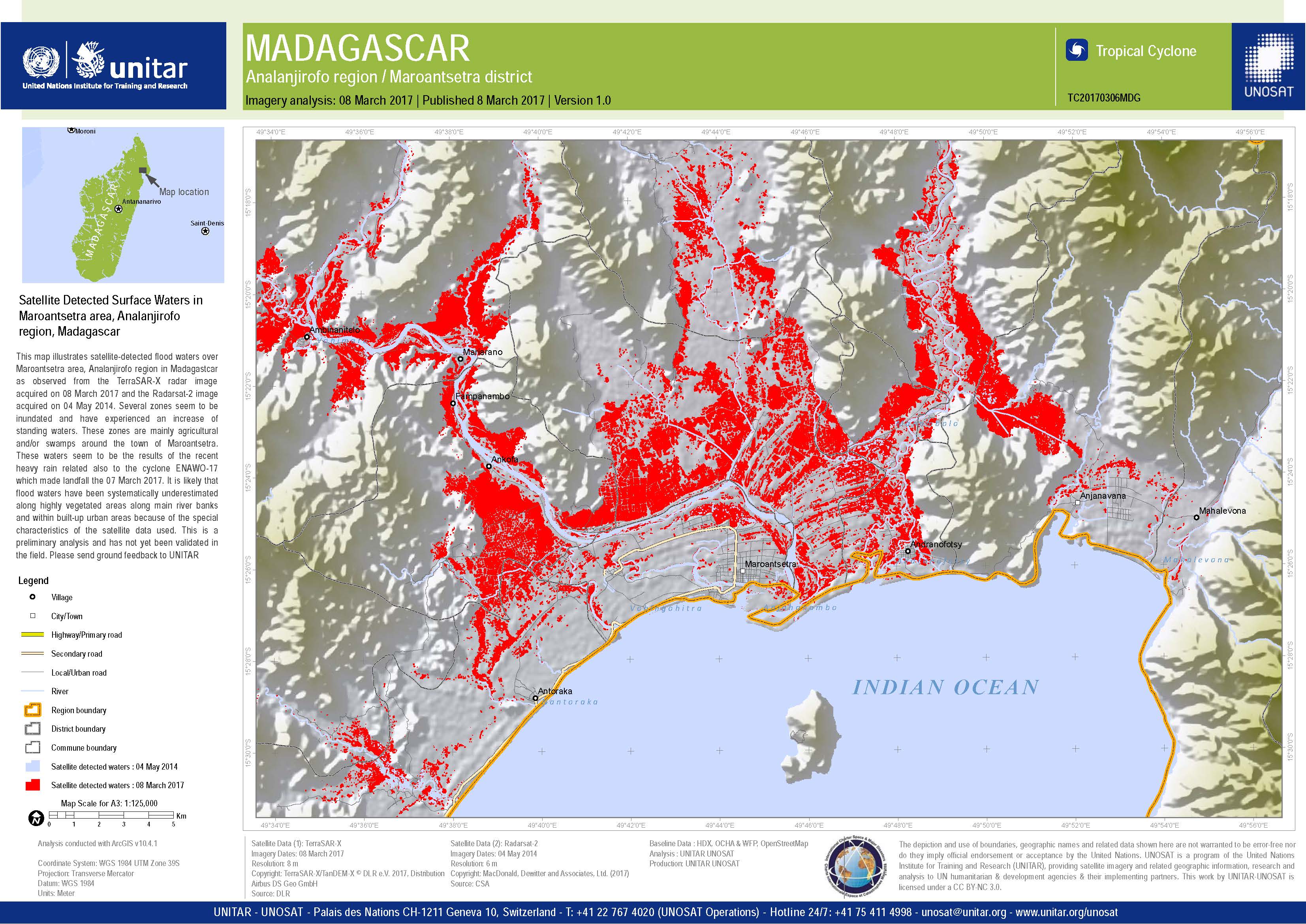
Satellite detected surface water in Maroantsetra area, Madagascar
Copyright: RADARSAT-2 Data and Products © MacDonald, Dettwiler and Associates Ltd. (2017) - All Rights Reserved. RADARSAT is an official trademark of the Canadian Space Agency.
TerraSAR-X DLR e. V. 2017, Distribution: Airbus DS Geo GmbH
Map produced by UNITAR / UNOSAT
Information about the Product
Acquired: RADARSAT-2: 08/03/2017
TerraSAR-X: 04/05/2014
Source: RADARSAT-2 / TerraSAR-X
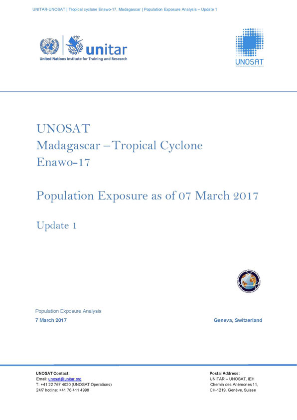
Population exposure analysis of Madagascar following Tropical Cyclone Enawo on 07 March 2017
Download the full report
Copyright: Report produced by UNITAR/UNOSAT
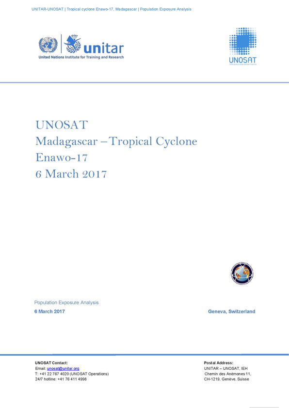
Population exposure analysis of Madagascar following Tropical Cyclone Enawo on 06 March 2017
Download the full report
Copyright: Report produced by UNITAR/UNOSAT
 Back to the full activation archive

